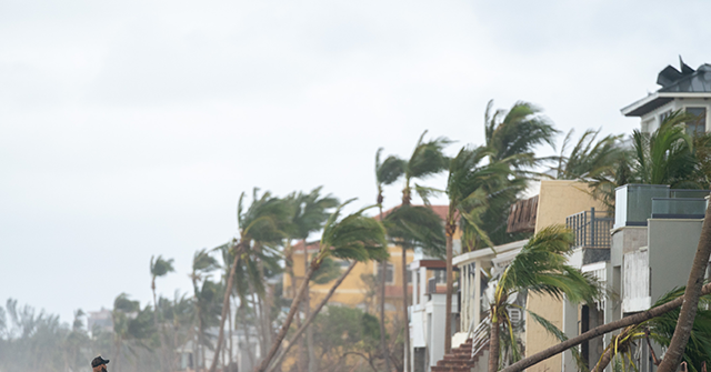

Ian has been downgraded to a tropical storm as it makes its way across Florida, but it is expected to make another U.S. landfall on Friday as South Carolina’s coast prepares for impact.
Tropical Storm Ian is now hugging Florida’s east coast, bringing maximum sustained winds of 70 mph — four mph away from a hurricane. Still, the storm is expected to make a second U.S. landfall, wreaking further havoc on the states:
Here are the 11 AM EDT 9/29 Key Messages for Tropical Storm #Ian.
A Hurricane Warning has been issued for the entire coastline of South Carolina now that Ian is expected to regain hurricane intensity.
Latest Advisory: https://t.co/tnOTyg5UEw pic.twitter.com/yTeI5RVfzT
— National Hurricane Center (@NHC_Atlantic) September 29, 2022
A hurricane warning has been issued for South Carolina’s coast, per the National Hurricane Center’s 11 a.m. advisory.
“Hurricane-force winds are expected across the South Carolina coast beginning early Friday, where a Hurricane Warning has been issued,” it read.
“Hurricane conditions are possible by tonight along the coasts of northeastern Florida and Georgia, where a Hurricane Watch is in effect,” it added.
Videos have continued to emerge across social media, showing the devastating effects of the storm as it made its way across Florida:
Some of the more spectacular gas-station-canopy destruction I’ve seen. The pumps underneath were crushed almost to dust. In Port Charlotte. #Hurricane #IAN pic.twitter.com/nh4oupQAot
— Josh Morgerman (@iCyclone) September 29, 2022
Close to where that surge cam from yesterday was. #Ian https://t.co/3bliTST6Rw
— Mike Bettes (@mikebettes) September 29, 2022
Here’s what’s left of Times Square in Fort Myers Beach pic.twitter.com/dw9OXzbtAz
— Vikeologist™ (@Vikeologist) September 29, 2022
There were 2.02 million power outages as of 6 a.m., per Gov. Ron DeSantis (R), who warned of “additional outages” as the storm batters the northeast portion of the state.
This is a developing story. Follow Breitbart New’s livewire for updates.


