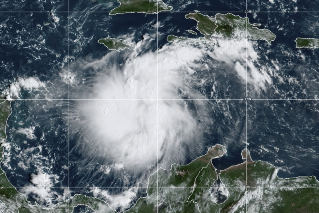
As Tropical Storm Ian is set to become a hurricane Monday, officials in Key West, Florida are urging preparation.
Ian has reached 50-mile-per-hour winds Sunday according to the National Weather Service’s Florida Keys division. The National Hurricane Center anticipated the storm “to begin rapidly strengthening” Sunday night as well. It is currently over the Caribbean Sea and is expected to move north west on Monday and Tuesday, affecting Jamaica, Cuba, and Florida.
“Reminder: Preparations for possible tropical storm conditions should be complete by late evening Monday,” NWS tweeted Sunday.
POTENTIAL HURRICANE CAUSES NASA TO DELAY ARTEMIS 1 MISSION FOR THE THIRD TIME

The Florida Keys including the Lower Keys and the Dry Tortugas are under tropical storm watch and a coastal flood watch, with estimates of one to two feet higher flooding than the typical high tides recorded in the area.
“The NHC intensity forecast shows Ian becoming a hurricane on Monday and a major hurricane on Tuesday,” NWS tweeted.
As a result, Gov. Ron DeSantis issued a renewed emergency order Saturday over all of Florida. Previously, the order only included twelve of the state’s counties.
“This storm has the potential to strengthen into a major hurricane and we encourage all Floridians to make their preparations,” DeSantis said in a statement. “We are coordinating with all state and local government partners to track potential impacts of this storm.”
CLICK HERE TO READ MORE FROM THE WASHINGTON EXAMINER
Ian’s forecast is still uncertain in its track and intensity according to the NHC. Florida’s inland last fell within the reach of a hurricane in October 2018 during Hurricane Michael.


