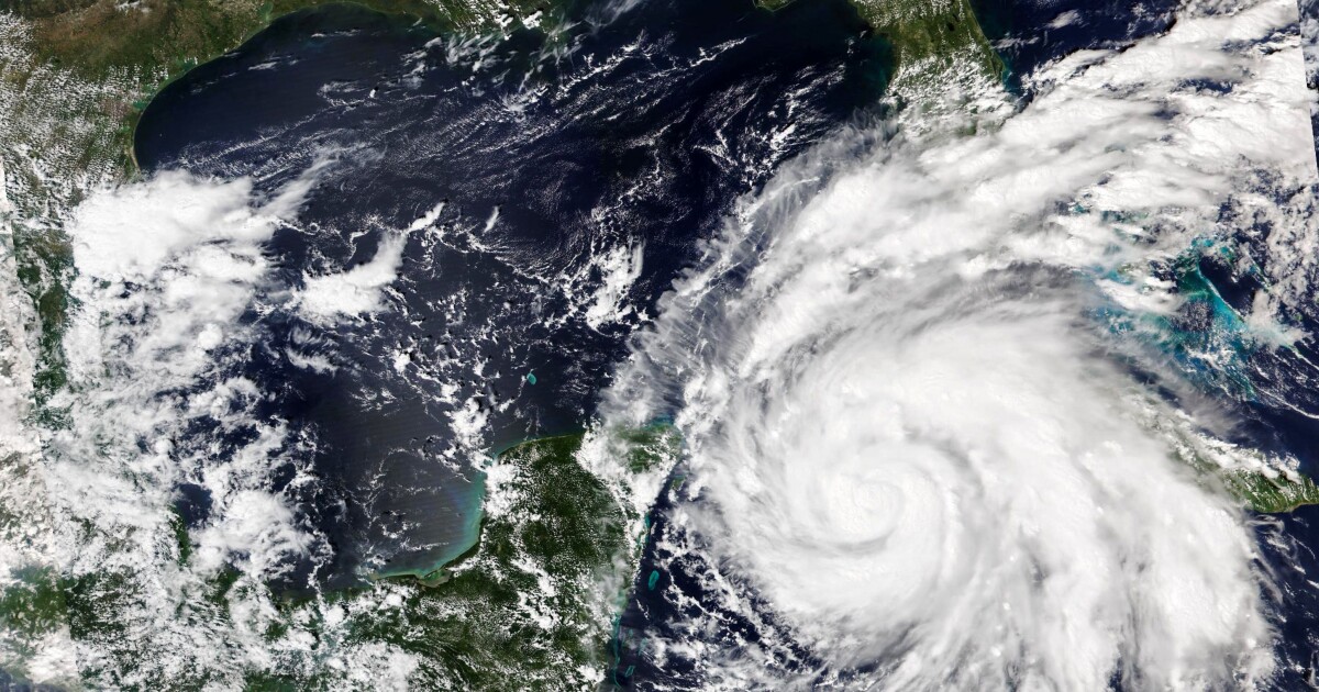
Hurricane Ian’s sustained winds intensified to around 125 mph early Tuesday morning as the storm strengthened to a Category 3 hurricane, making landfall in western Cuba.
The National Hurricane Center expects Ian to continue to strengthen on its approach to Florida’s west coast, which is bracing for potentially “life-threatening” storm surges as seawater levels continue to rise with winds pushing water onshore.
“There is a danger of life-threatening storm surge along much of the Florida west coast where a storm surge warning has been issued, with the highest risk from Fort Myers to the Tampa Bay region,” the National Hurricane Center said.
HURRICANE IAN ‘NEAR WORST-CASE SCENARIO’ AS MASSIVE STORM COULD HIT CATEGORY 4
As a result of the storm surges, flooding greater than 9 feet is possible along some parts of Florida’s west coast. An interactive map from the National Hurricane Center depicting the surge potential is available here.
Mandatory evacuations were ordered Monday for areas in the Tampa Bay region, with officials asking others to begin voluntarily evacuating to expedite the amount of time it could take to move hundreds of thousands of people out of Hurricane Ian’s path.
Florida Gov. Ron DeSantis warned residents of his state that even if Ian did not hit their area directly, the effects of the storm could still be felt.
“You’re still looking at really significant amount of rain, you’re looking at a lot of wind, you’re looking at a lot of storm surge, and so, yes, follow that track, but don’t think because that eye may or may not be in your area that you’re not going to see impacts,” DeSantis said during a Monday afternoon news conference. “You’re going to see significant impacts.”
DeSantis declared a state of emergency for all 67 Florida counties Saturday.
Ian is forecast to intensify to a Category 4 hurricane with top winds of 140 mph expected by Wednesday.
CLICK HERE TO READ MORE FROM THE WASHINGTON EXAMINER
Tampa International Airport announced it will suspend all operations Tuesday at 5 p.m., allowing the airport time to secure the airfield and terminals along with ground equipment and any remaining aircraft, according to FOX13. All terminals, airside, and parking garages will be closed off from visitors.
Heavy rainfall is expected to increase across the Florida Keys and South Florida throughout the day Tuesday. As the storm continues to move, possible flooding could reach central to northern Florida, southern Georgia, and coastal South Carolina.